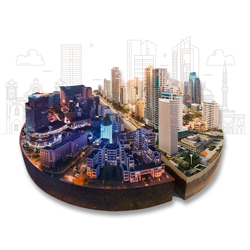
Experience the power of location intelligence with us
At Spatial Matrix, our vision is to empower our clients with the insights they need to make informed decisions about the physical world. We strive to be a trusted partner for businesses, governments, and organizations that rely on geospatial data to succeed. Through cutting-edge technologies, expert analysis, and a commitment to quality, we aim to be the go-to provider of comprehensive spatial data services that help our clients overcome their most pressing challenges. Our vision is to build a world where accurate, up-to-date geospatial data is available to all who need it, and where that data is used to drive innovation, improve sustainability, and create positive impact. With our passion for excellence and our commitment to our clients' success, we aim to make a lasting difference in the world of geospatial data services.
DISCOVER
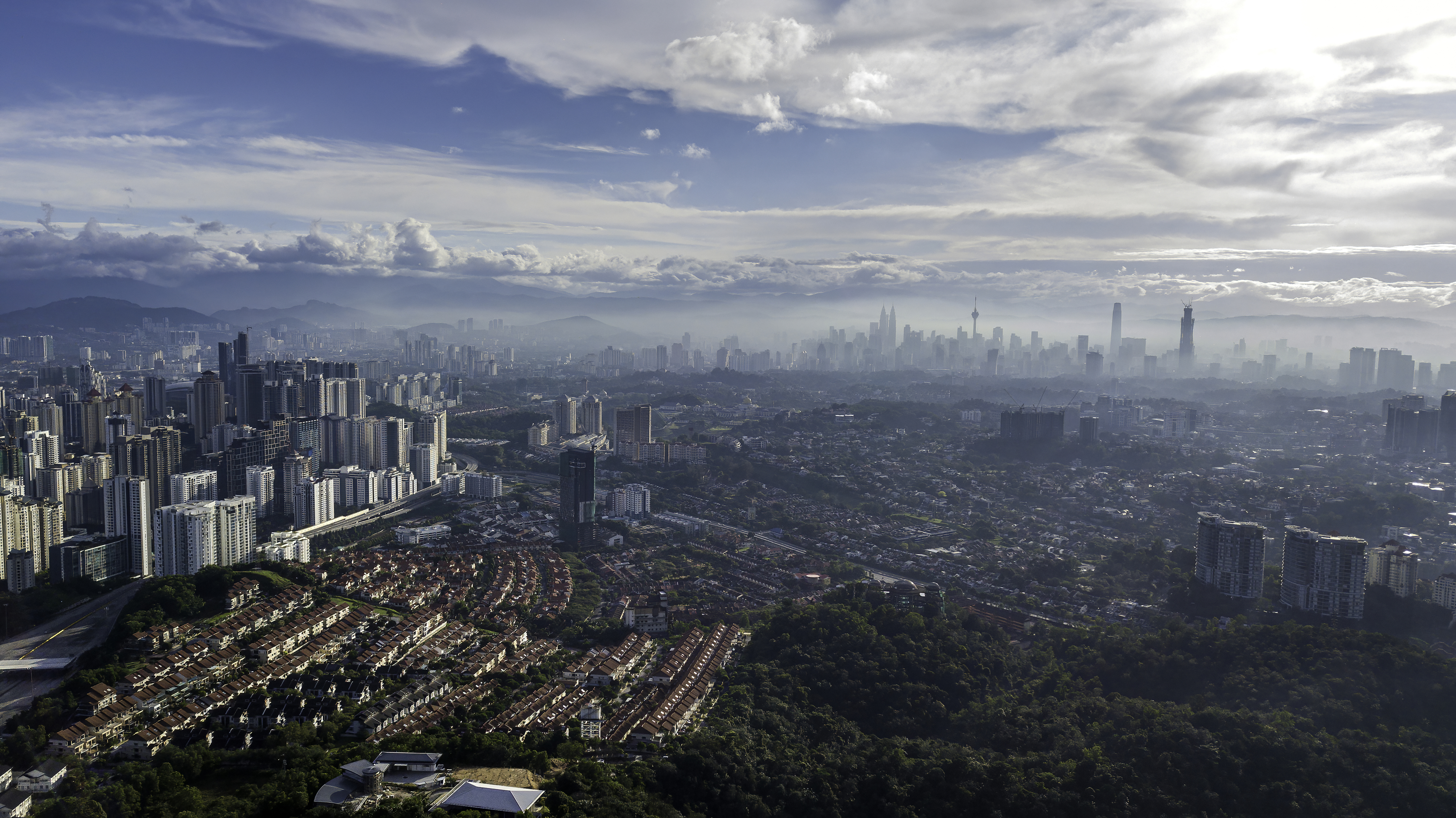
Building Seismic Resilient Communities: Empowering Seismic Preparedness with Spatial Technologies
Spatial Matrix empowers seismic preparedness with spatial technologies, helping to build resilient communities. Through GIS and expert analysis, we map and analyze hazards, assess vulnerability, and plan for emergency response. Our commitment to quality and innovation makes us a trusted partner for those who rely on geospatial data to succeed in creating positive impact and improving sustainability. Together, we can make the world a safer and resilient place.
DISCOVER
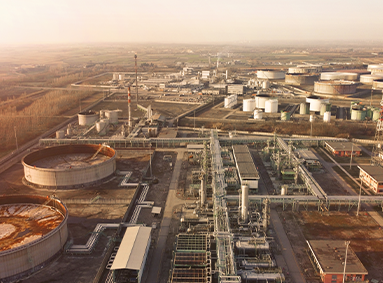
Transforming the AEC Industry: Driving Success with Spatial Insight and Innovation
Spatial Matrix is a leading provider of GIS, BIM, and other spatial data technologies that help transform the AEC industry. Our advanced tools enable designers, engineers, and contractors to efficiently collaborate and visualize projects, identify potential issues, and optimize construction processes. Our commitment to innovation and expertise in geospatial data make us a trusted partner for AEC businesses. By leveraging the power of spatial data, we help create more efficient, sustainable, and resilient design and built environments.
DISCOVER